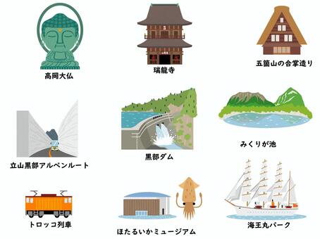
Toyama tourism material set (1)

落款セット-10-富山
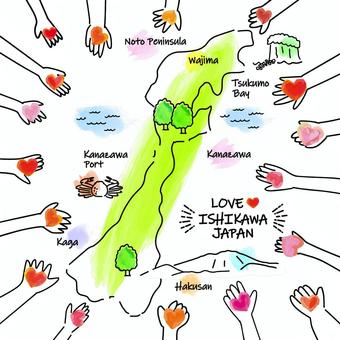
Hands of people offering their hearts to Ishikawa Prefecture

Tateyama mountain range

Chiba prefecture municipality administrative district

A simple Chiba shape

Modern map of Toyama prefecture with administrative divisions (silver-gray)

Tateyama Mountain Range-01

A map of Toyama prefecture with administrative divisions
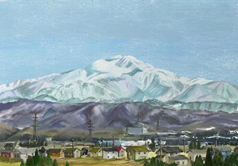
Sacred mountain Hakusan waiting for spring

Winter mountains and sea

rainy coast

Chiba Prefecture City Map

Kurobe Dam

Hand-drawn Mt. Hakusan (color)

Hand-drawn Mt. Hakusan

Mountain (Tateyama mountain range)
Hakusan plateau area

Chiba prefecture puzzle

Hand-drawn Mt. Tateyama main peak

Hand-drawn Mount Tsurugi

Hand-drawn Mt. Tateyama (color)

Hand-drawn Mount Tsurugi (color)

Kurobe Dam

Valley of plate-shaped joint

A stylish map of Ishikawa Prefecture with administrative divisions

landscape painting rainy coast
27 Klip klip vektor gratis babagan .
Need vector clip art? Temokake babagan free stock gratis babagan .
Kabeh vector clip art gratis kanggo proyek komersial.
Need vector clip art? Temokake babagan free stock gratis babagan .
Kabeh vector clip art gratis kanggo proyek komersial.

 © 2011 - 2025 ACworks Co.,Ltd. All rights reserved.


